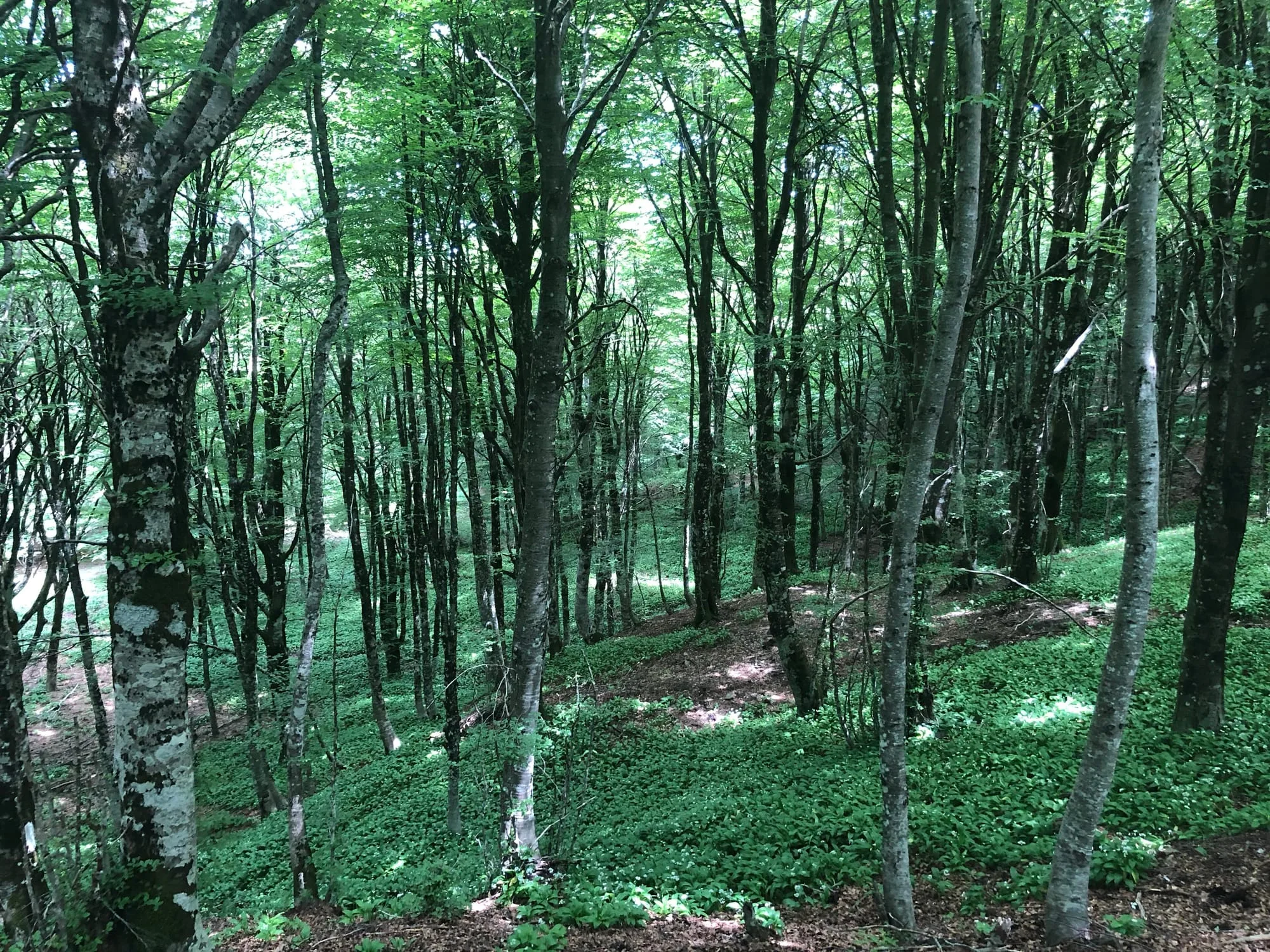
The Sambughetti-Campanito reserve and the ASSP
The Sambughetti-Campanito nature reserve, in the mountains north of Nicosia, is managed by Nicosia's ASSP, the municipal Azienda Speciale Silvo Pastorale. The ASSP has GPS-surveyed the reserve's 12 numbered trails and publishes a technical sheet for each: length, elevation gain and loss, altitudes, walking time, technical difficulty and fitness required on a five-point scale, recommended months, safety notes. What you read here comes from there.
- The numbers are the source's: distance, climbing, duration and altitudes are those of the ASSP sheet, not our estimates. The declared length and the length of the GPX file agree to within 1%; the line you see is that track simplified for display, so it measures slightly less — up to 656 metres on the longest trail, 6% of its length. An automated check verifies all three comparisons at every publication, and the build stops if one of them goes over.
- The line is the real track: on the map you see the ASSP's GPS survey, simplified for display. The files you load onto a GPS are not downloaded from here: they are on the ASSP's own sheet, which is also where they get updated.
- Season and snow: the ASSP lists the trails as walkable year-round; with more than 20 cm of snow it recommends snowshoes and poles. The technical notes on each sheet say where shade is missing and where water is scarce. They are in Italian.
- Before you set out: conditions change, and the ASSP sheet says so plainly. Check the trail's status on the ASSP website, where you also find the public-relations office contacts.